What happens when you bring some of the world’s greatest geospatial intelligence minds together for a four-day event?
You’re bound to get plenty of innovative discussions, meaningful connections, and spirited debates — and that’s exactly what we saw at the GEOINT 2024 Symposium this May.
Members of the Cognitive Space team — and a host of geospatial intelligence stakeholders — converged on Kissimmee, Florida from May 5-8 for this year’s GEOINT event. The 2024 theme was “Essential in All Dimensions and Domains,” which aimed to showcase geospatial intelligence’s importance in a rapidly evolving technological and geopolitical landscape.
Our team had the chance to attend keynote discussions and chat with everyone from government decision-makers to commercial space executives. We compiled some of the most interesting and insightful trends and storylines from the week:
6 Takeaways from GEOINT 2024
Did you miss out on GEOINT 2024? Or maybe you were in attendance and just want to relive some of the highlights? Either way, here are six takeaways from the event:
1. Defense and intelligence leaders are jostling over satellite imaging ownership.
GEOINT always draws a mix of the intelligence community and the defense community. Members of the National Geospatial Intelligence Agency, National Reconnaissance Office, Defense Supply Agency, and Space Force all shared the stage for keynote addresses.
There’s a healthy debate underway between intelligence and defense officials over the ownership of space imaging: i.e. which organizations have priority for taking satellite images, accessing imagery, and buying imagery from commercial providers. The resolution of this discussion will likely have a profound effect on commercial space, and satellite operators especially.
Cognitive Space is eager to work with both intelligence and defense agencies, and looks forward to contributing whatever we can for the benefit of national security.
2. Everyone’s got an eye on artificial intelligence.
Artificial intelligence (AI) is a hot topic in just about every industry. Geospatial intelligence is no exception.
The Cognitive Space team heard plenty of discussions around the use of AI in operational settings, both on the ground and in space. Especially popular were discussions around large language models (LLMs) and their use in the world of geospatial analytics. Many stakeholders are discussing the interplay of AI and human analysts, and how the industry can optimize that relationship for best results.
Although GEOINT focuses mostly on the geospatial community in the United States, it was interesting to hear from some of the European commercial providers that attended the symposium. Many are curious how the European Union’s new legislation around the ethical use of AI will affect the use of AI in geospatial operations in other parts of the world, and what legislative updates may result.
3. Cybersecurity comes into focus amidst world events and further expansion in the use of space to secure national interests.
A cybersecurity discussion was closely tied to the topic of AI innovation. Stacey Dixon, U.S. deputy director of national intelligence, spoke at length about this at GEOINT.
Rising geopolitical tensions have shed a spotlight on the security of United States spacecraft. As space operations scale and become more automated with the use of AI, commercial and government entities must ensure that AI applications are safe and secure.
Companies such as Cognitive Space are committed to meeting the Cybersecurity Maturity Model Certification (CMMC) 2.0 standards set forth by the U.S. Department of Defense. Space operations can only scale if there are standards in place to ensure that sensitive information remains in the right hands.
4. Both the defense and intelligence communities are embracing commercial providers.
There’s an old saying in the space operations world: “buy what you can, build what you must.” That sentiment was alive and well at GEOINT.
Our team sensed even more positive energy towards leveraging commercial solutions for geospatial intelligence than in years prior. Government entities are excited about the possibilities that commercial providers are bringing forth in remote sensing, satellite imagery, and geospatial analytics services.
With a wealth of capacity and innovation moving at speed and scale in the commercial world, government officials are signaling that engaging with commercial providers is more effective than trying to build from scratch in-house.
5. Satellite operators want more than imagery; they want insights.
The Cognitive Space team is not alone in noticing the shift in the satellite imagery market from supply of data to supply of answers to analysts’ Key Intelligence Questions (KIQs). That shift was crystallized in our discussions at GEOINT.
Government providers are seeking more than the usual deliveries of imagery and remote sensing data; they want insights from that imagery and data. A host of analytics services firms are now able to extract insights that are more actionable and helpful for e operations across all domains - sea, ground, air and space.
As national security use of space data expands across all domains and become more nuanced and daedal, government entities must seek out multi-INT and multi-company analytics to answer more complex questions. Many of these analytics firms offer specialties in different verticals — maritime vessel tracking and identification, built environment change detection, asset custody and tracking, waterway management, highly specialized object detection, moving target indication and more — all of which inform an intelligence strategy.
6. We’re excited about the future at Cognitive Space!
Extracting multi-INT analytics over multiple satellite constellations with very short timelines is more difficult with linear, heuristic programming. AI and machine learning helps intelligence operators adapt to the increased speed of decision making supported by proliferated architecture space operations.
This line of thinking validates the technology we’ve built here at Cognitive Space. Don’t just take our word for it; we were overwhelmed with the support and positive reactions at GEOINT this year. Our technology is ready to help intelligence analysts and COCOM Commanders orchestrate multi-provider satellite data tasking at scale, to receive data at the speed of relevance in an increasingly crowded space landscape.
Orchestrate your satellite operations with Cognitive Space
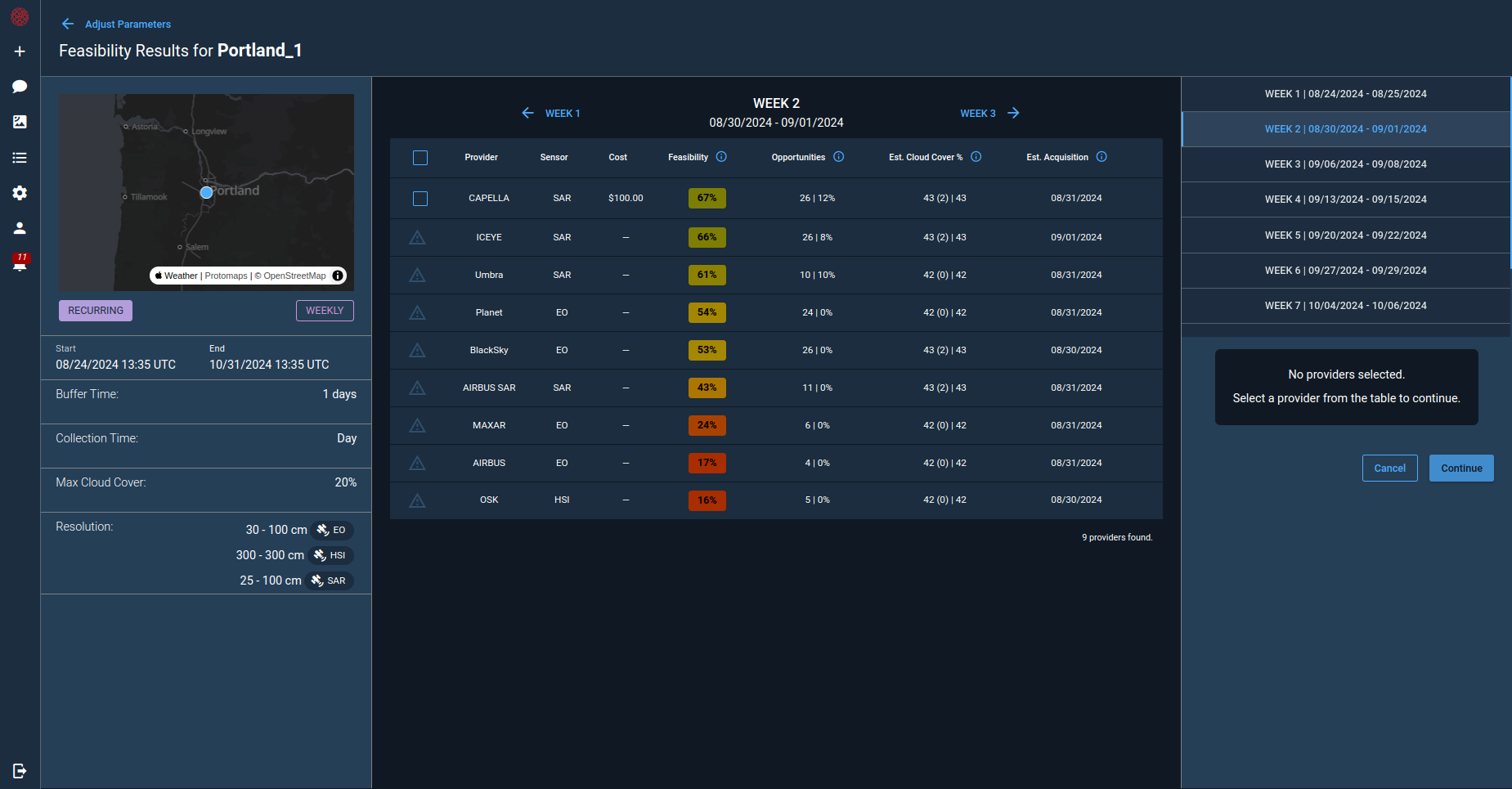
GEOINT 2024 underscored the need for operators to leverage AI, cloud computing, and deep operations expertise to automate their satellite data tasking decision making. . Cognitive Space is here to help! CNTIENT.Orchestrate™ is a robust, AI-powered software service that enables real-world, multi-provider data collection orchestration at scale. Book a demo to see how you can intelligently plan and order new remote sensing tasking across multiple commercial satellite data providers to confidently meet mission objectives.


